

In 2017, thousands of wildfires spread across California, destroying more than 1.2 million acres. That devastating wildfire season brought intense new scrutiny to vegetation management at utilities, especially at Pacific Gas & Electric (PG&E), which fire investigators determined was responsible for 17 of the 21 major wildfires that year.
Across the country, contact between electric equipment and vegetation is the leading cause of wildfires according to the California Public Utilities Commission (CPUC), which collects data about fires ignited at the state’s investor-owned utilities (IOUs).
It’s no wonder, then, that vegetation management is often the largest line item in a utility’s operating budget, exceeding $100 million per year at many large U.S. utilities. California’s three IOUs spend more than $1 billion per year on vegetation management, Elizaveta Malashenko, deputy executive director of CPUC’s Safety and Environment Division, tells Electric Light & Power.
Rethinking Vegetation Management
Vegetation management has always been a complex challenge for utilities, complicated by utilities’ static management approaches. Typically, utilities perform data-collection surveys once per year on a fixed cycle, then use that data to make decisions about whether or where to begin work.
“Utility vegetation management is an area that’s ripe for cultural change, innovation and creative solutions…there is no need for any utility to wait for another disaster to start making improvements.” — Elizaveta Malashenko, director of Safety and Enforcement Division at the California Public Utilities Commission, as told to POWERGRID International
“Vegetation management programs are often paper-based and involve a lot of passing back and forth of paper maps,” says Seth Dunn, industry development director, power & utilities, at ServiceMax. “And because it’s a very contractor-reliant operation, it brings questions about oversight into play. There’s a clear need for better ways for utilities to understand what workers need in the field, which ties back to the need for a more risk-based, rather than a calendar-based, approach.”
Most utilities now recognize that the traditional approach is inadequate for balancing efficiency and risk.
“That paradigm is not getting the results we need,” CPUC’s Malashenko tells Smart Energy International.
Yet, managing hundreds of miles of power lines with old-school technology isn’t the only challenge that utilities face. Climate change, aging infrastructure and changing federal and state regulations are also changing the rules of the game. The good news? Emerging technologies can help ease three major challenges:
Gathering Actionable Data
Utilities need real-time data to help them predict problematic vegetation, assess high-risk areas and identify other risks to their networks. Several technologies, including IoT sensors and drones, make it easier for utilities to collect data.
Light Detection and Ranging (LiDAR)
LiDAR technology has quickly become a go-to technology in utilities’ vegetation management toolkits. LiDAR sensors pulse light beams to determine the distance between sensors vegetation. Utilities integrate this information with GPS data to create 3D topographical images of vegetation risk from sensors on land or in the air attached to drones. That analysis enables utilities to create detailed inspection and pruning schedules, to identify high-risk fire areas, and to develop predictive models of vegetation growth patterns.
There’s a clear need for better ways for utilities to understand what workers need in the field, which ties back to the need for a more risk-based, rather than a calendar-based, approach. — Seth Dunn
A recent project at ComEd, the largest electric utility in Illinois, piloted the use of LiDAR to cover four sections of its distribution network. With LiDAR data captured during the pilot, the utility was able to prioritize tree trimming needs, estimate labor and equipment costs, and establish a new pricing model for contractors. ComEd plans to deploy LiDAR for annual scans of its entire distribution network in the future.
Drones
Drones offer several advantages compared with manned flights. They are able to remain airborne for extended periods, cover wide swaths of landscape and are cheaper to operate thanks to their lightweight and small size.
Colin Snow, a commercial drone industry analyst, predicts that the use of drone mapping will grow in a number of industries, including oil & gas and utilities. And as more applications are developed to integrate data from drones into organizations’ workflows, utility operations could realize significant savings — up to 50 percent in field time and technician costs, according to DroneDeploy.
IBM Research is working with Oncor, the largest utility in Texas, to deploy a tool that uses data collected by “satellites, drones, aerial flights, millions of IoT sensors and various weather models” to predict where vegetation may threaten the utility’s power lines.
Making Data Actionable
A service execution management platform can help utilities reduce fire and outage risk, lower inspection costs, gather more accurate inspection data, improve worker safety, and improve compliance with regulations.
“It’s important for utilities to consider their vegetation management programs within the context of a broader platform that can integrate all the data that utilities need to collect,” ServiceMax’s Dunn says.
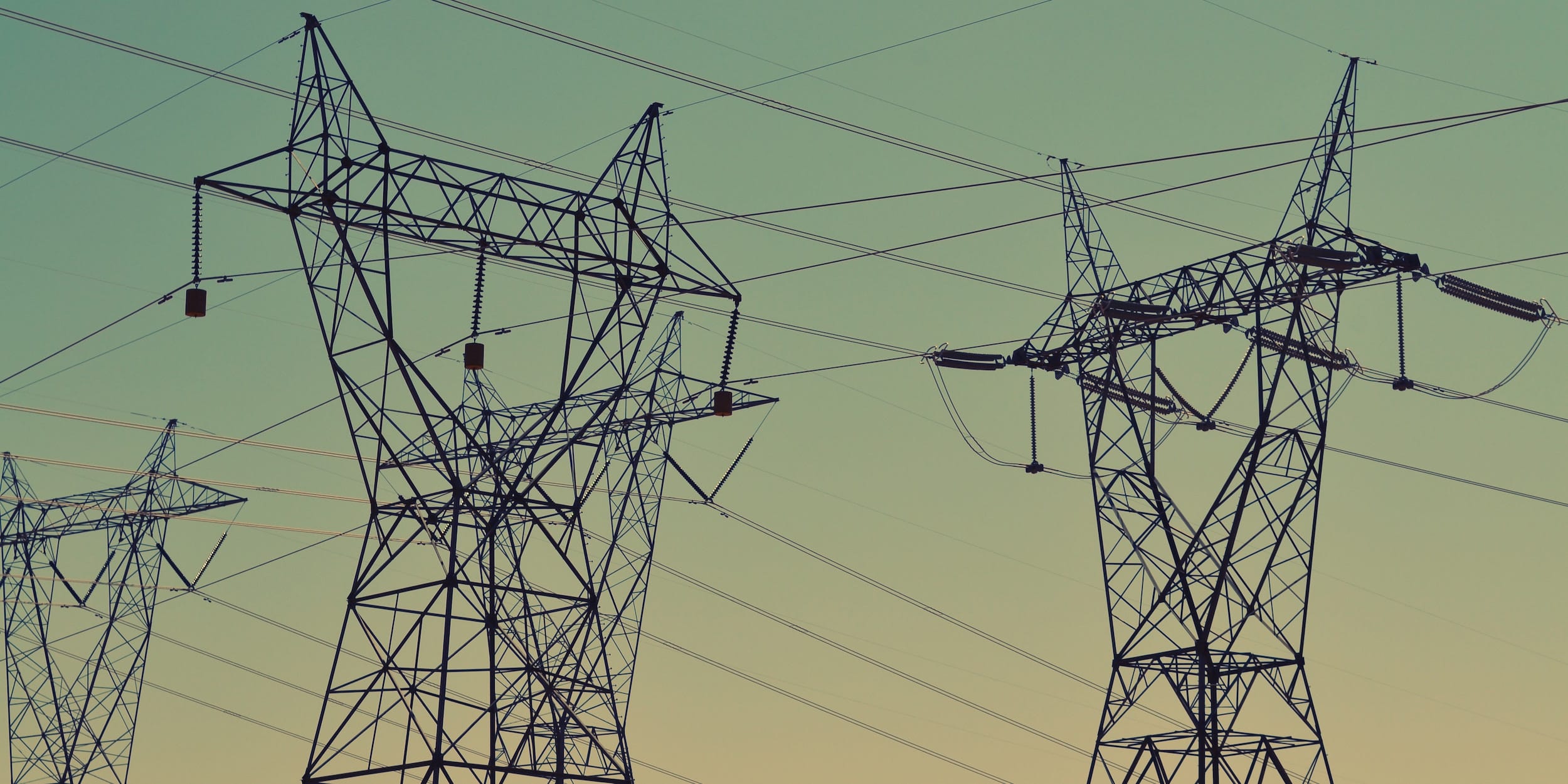
Image: Unsplash/American Public Power Association
In addition to leveraging data, such a platform must also put that data to use in the field. ServiceMax has developed integrations with GE Mobile Enterprise, a mobile GIS application that enables digital map-based work, such as post-storm damage assessment and line inspections. This combined “digital worker” solution recently landed its first utility customer and has a roadmap to extend into vegetation management, leveraging the mobile communication functionality of Zinc, a recent ServiceMax acquisition.
Mobile Data Access & Collaboration
Data is critical in utilities’ fight against wildfire outbreaks as they work to understand canopy size, power line length, and other intel about the vegetation surrounding their networks. A utility might have a service management platform to store and manage that data, but it’s also important to have a strategy for getting that data to the people in the field.
GIS and Digital Mapping
With modern geospatial and GIS mapping applications allow utilities to deliver data to technicians, trimming contractors and other crews in the field — on any mobile device. The challenge, Dunn says, is consolidating data in a platform so remote employees can access it.
Mobile Devices
Rugged mobile devices are essential tools for vegetation management crews to gather and share information among themselves — and with back-office staff.
“The typical utility uses individual mobile applications for many of its operations,” he says. “Many end up with multiple mobile applications that are siloed from other solutions. When integrated into a broader service execution platform, the utility is better able to integrate all of its data and produce actionable insights.”
As utilities continue to meet new challenges, service leaders need a tech-savvy vegetation management strategy that incorporates inspection data from emerging technologies like drones and LiDAR sensors, integrates that data into a single management platform, and enables mobile communication and collaboration. Done correctly, it could make the difference between conservation and catastrophe.

Share this: