Editor’s note: A version of this story by Fred Guterl originally appeared on GE Reports, a site that covers GE’s industrial transformation.
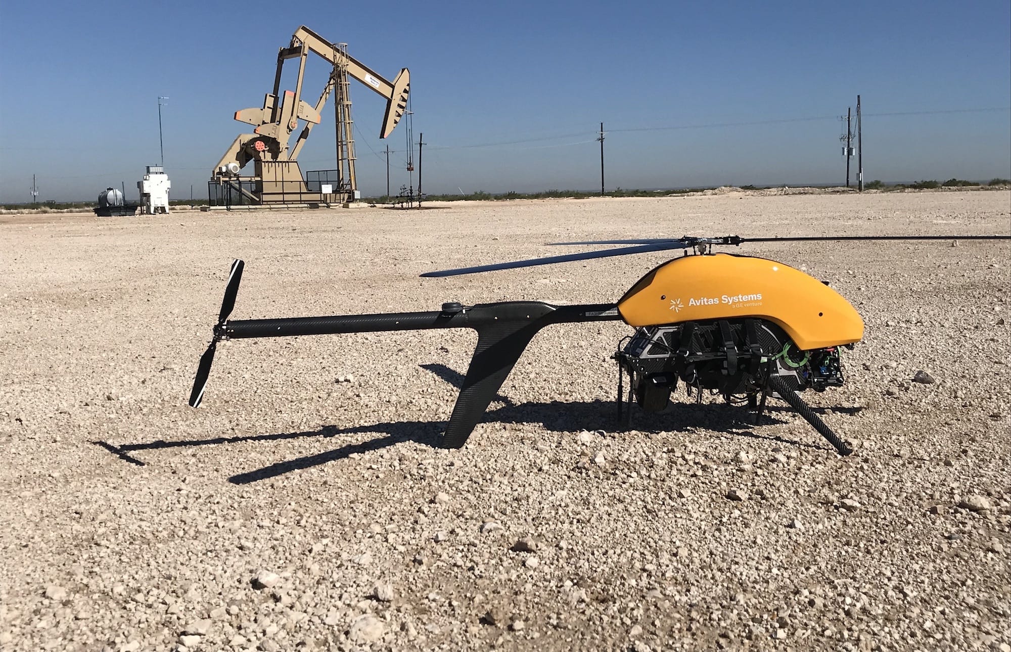
If you live in oil country, you know what a nodding donkey is. The name derives from the continual up-and-down motion of the arm of a pump pulling crude from an oil well, which suggests a donkey lazily eating grass.
As oil wells go, nodding donkeys are relatively small — about the size of a cherry picker — but numerous. They can be found next to parking lots, on the side of roads and in backyards. “There are hundreds and thousands of them in New Mexico and West Texas,” says Michael Clatworthy, director of flight operations for Avitas Systems, a GE startup based in Boston. “They’re everywhere.”
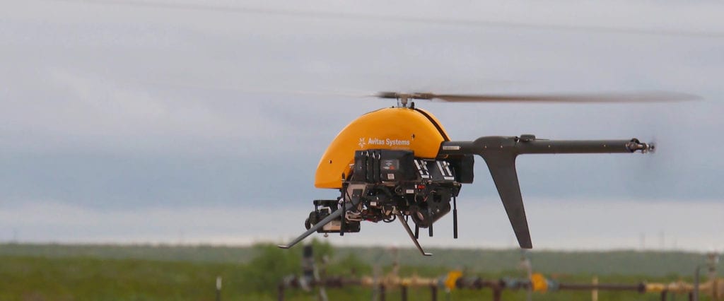
Clatworthy would know. He manages Avitas Systems’ fleet of drones, which are used to visually inspect customers’ industrial assets, including full-scale oil wells, gas pipelines, power lines and other structures. The drones typically hover 90 feet above a structure, sometimes getting as close as 40 feet. They use infrared cameras to detect the heat released by escaping gas. Lasers also let the drones detect hydrocarbons and measure leaks in terms of parts per million.
Most of the time, drones look for leaks of methane, a potent greenhouse gas. But Avitas Systems’s image-processing software can also spot oil that spills onto a well pad or corrosion on a pipe. It can recognize the occasional cow that wades into oil containment areas, kiddie-pool-like structures temporarily holding oil.
But the inspections are the easy part. The hard part involves getting to each location. Regulations call for inspections once or twice a year, depending on the age of the structure, and inspectors used to travel by helicopter to the least accessible locations and by car to the rest. With wells scattered across the Southwest, checking on them can be time-consuming and unsafe.
Drones have been a boon to inspectors and their clients. But they’ve come with one severe limitation. The Federal Aviation Administration, rightly cautious about drones wandering into the airspace of airplanes and endangering pilots and passengers, requires drone pilots to keep the vehicle within their line of sight. That means a drone can’t go more than about a mile from its pilot.
In 2016, Congress instructed the FAA to create a process that allows inspection of critical infrastructure — including power lines, pipelines, oil and gas production sites and electrical substations — from beyond the visual line of sight. Firms could get an exemption if they could demonstrate that they can safely operate their drones from farther away. The FAA granted such an exemption to Avitas Systems in October.
See also: Beyond the Naked Eye: How Tech Is Revolutionizing Industrial Inspections
A key to winning the exemption was demonstrating the safety of Avitas Systems’ flight-management system. Each drone has two cameras — one pointed down, another pointed straight ahead — that give its pilot “situational awareness.” A second crew member uses radar on the ground to monitor the drone’s airspace, keeping watch for the occasional Cessna flying at a low altitude or other traffic. Avitas Systems’ first use case is also sparsely populated.
“The Air Line Pilots Association supported our application,” says Clatworthy, a former scout attack helicopter pilot for the Army who served tours in Iraq and Afghanistan. “We showed them our safety plan, our use of radar and our ability to work with manned aviation traffic in the area. We made it clear that we want to play nicely.”
Clatworthy expects the exemption to greatly enhance productivity. Before the exemption, a drone could typically handle five or six oil wells per flight. Now, he reckons, it will manage four times that amount.
Read the full story at GE Reports. Images courtesy of Avitas Systems.


Share this: